Satellite images from space allow your land to be reliably mapped and reveals important soil and crop qualities. With on-site measurements, we complement the due diligence of your agricultural or forest investment with additional data. In order to do so, we use day-to-day temperature and precipitation data as well as humidity and evaporation levels of the plants and soil. Our specialists are thoroughly involved in monitoring crop and yield statistics and in determining soil quality.
The experts at SBI take all available data varieties into account in a holistic way, rather than relying on an isolated type of data.
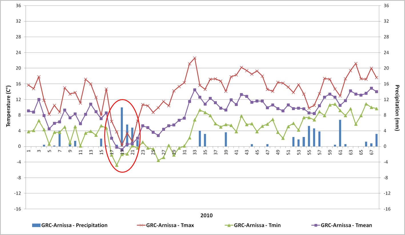
A frost during the peach blossom in Greece
- Do the weather conditions match the yield harvested in the past or is there room for improvement?
- What was the cause of a poor harvest, and how can this be avoided?
- During which phase of growth does a water deficiency occur; typically during a sensitive phase of growth, or when the plant can subsist?
- Whether the minimum daytime temperatures at the time of flowering could disturb the development of the fruit, or if frosts occur before flowering, for example, regarding different crops such almond and hazelnut.
In analyzing the data, we work with utmost precision and answer your questions about investments in land and forestry through the use of our innovative methodology.